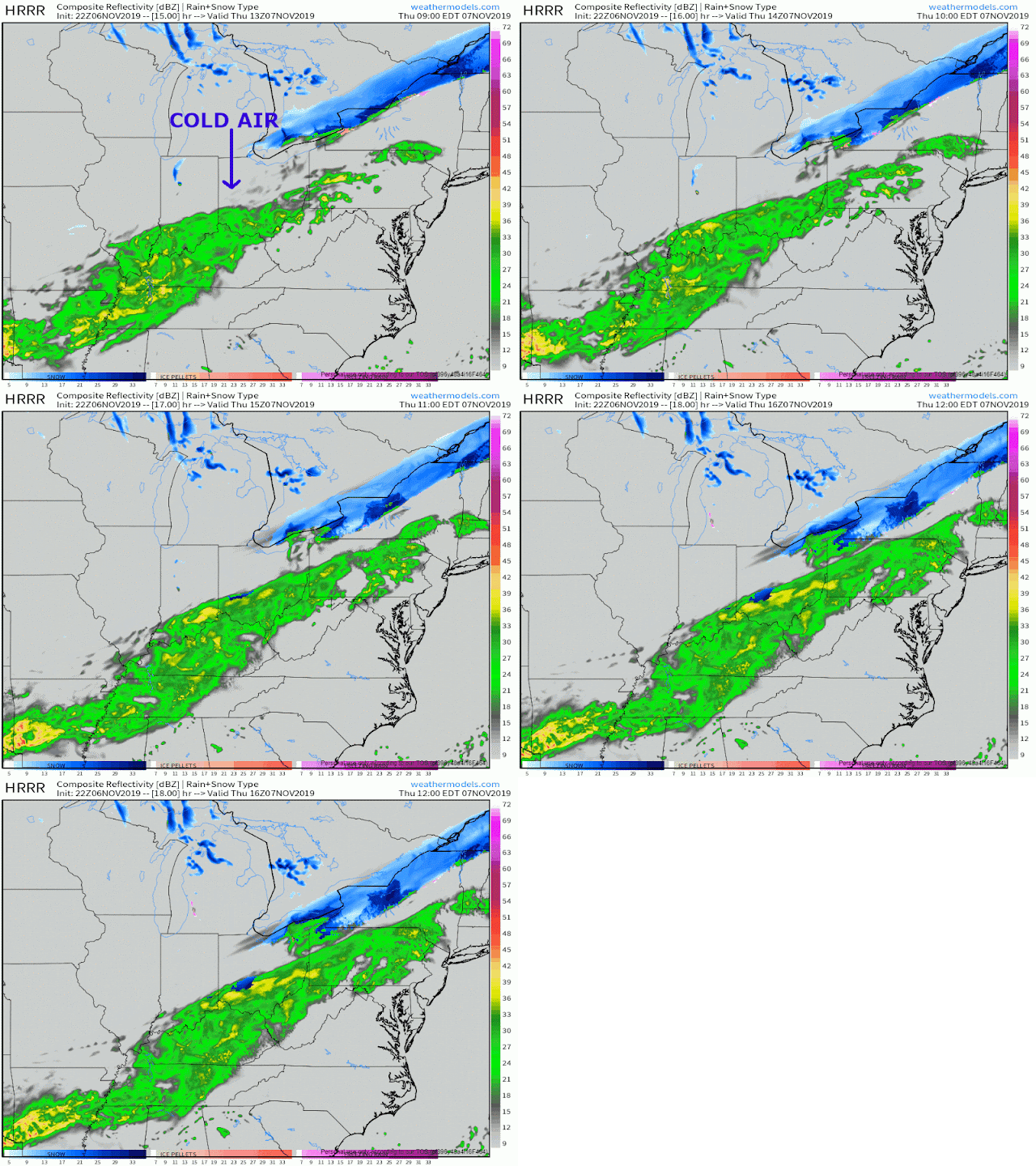
Now that we're within 24 hours of a potential snow, boy did a lot of people start speculating that we would get a decent accumulation out of this. Starting late last night in to midday today I saw a lot of posts saying, "models show accumulation tomorrow!"
Nothing's changed. So then why all the posts? Well, it's the first storm of the season, and high res models started to pick up the storm. So any model watchers immediately jumped at the first 30 hour model from the HRRR they saw.
Our storm system is finally coming together tonight, with a southern and a northern stream on their way to merging over our area tomorrow:
The Forecast:
Expect scattered rain showers this evening before the storm really comes together in to widespread rain by tomorrow morning, sometime after rush hour. Then things get interesting.:
You'll notice at the end of the loop a small area of precip changing over to snow. That'll grow, but the real question will be how quick it changes over, and for how long before the precip ends.
Unfortunately I don't think the whole area sees accumulating snow, or even snow flakes at all. Western Ohio gets the transition with the cold air coming in there first, but as of right now it appears the precip moves out before the whole area can change over to snow.
Here's where I think we could see a light dusting of snow, on grassy surfaces:
Again, I still think this is a fluid situatuion, all dependent on when the snow changeover happens. I'll be posting pretty frequently on Twitter tomorrow.


No comments:
Post a Comment